 |
||||||||||
|
A Spring Creek Driving Tour
By Maxine Dalton |
||||||||||
 |
||||||||||
|
From Doggett Top to Hot Springs
Welcome to Spring Creek. This tour is meant to help you enjoy and appreciate the rich heritage that forms the foundation of our community. |
||||||||||
 |
||||||||||
|
Today Township 8 has about 1500 residents more or less. In the early 1900’s and before when people walked from place to place or rode horseback or mule, these 9 communities had 11 post offices, 15 or more schools and upwards of 20 stores. Schools, churches, and post offices were tucked into hollers and coves. For a trip to the county seat in Marshall, a person rode a mule over the mountain and walked back with the provisions loaded on the mule’s back, if fortunate enough to own a mule. You may enter Township 8 over Doggett Mountain on Hwy 63 from the South; through Betsy’s Gap on Hwy 209 from the west; or just beyond the Pisgah National Forest from Hot Springs on 209 from the North. If you have a 4WD vehicle you can also get here on Baltimore Branch Road through Troublesome Gap (SR 1151) from Big Pine. The difficulty of access has been a blessing and a curse for this community. It has made it hard for young people to remain in the community because they have to drive such a long way to work. But so far it has saved the community from intense suburban and second home development because most outlanders are unwilling to drive an hour to the grocery store. This driving tour is for folks coming over Doggett Mountain. Approximately 20.4 miles from the intersection of Hwy 63 and Patton Avenue you will see a sign on the right that indicates that you have entered the Spring Creek Fire District. Set your odometer at 0.0 1.4 miles - Doggett Gap, elevation 3776 ft. A well known cartographer named John Doggett (1809 – 1852) published a Railroad Guide and Gazetter for Western NC and perhaps this gap was named for him. |
||||||||||
 |
||||||||||
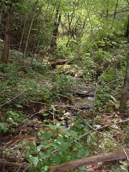
| 2.8 miles – looking to the mountain tops in the distance at about 1 pm you can see Duckett Top Fire Tower. There is a magnificent view from this abandoned tower of Spring Creek Valley, Max Patch, and the mountains beyond. It is only reachable by hiking along a private road or across the ridgeline from Troublesome Gap, also private land. 2.9 miles – Looking left you will see a sign for Mt. Pleasant Baptist Church and Mountain View Road. This road used to be the route down into Spring Creek. Today this route is probably walkable if you have a compass and a good topo map. The private home at the end of the road was once a stage coach stop and Mount Pleasant Church was a school Monday through Friday and a church on Sunday. This church was founded in 1850. Land for the current church was donated by Gus and Mollie Penland and the present church was built between 1910 and 1911. The cemetery is called Sliding Knob. 4.3 miles – Here is Briar Rose Farm with Duckett Top Tower Road running through the middle of the farm. Until the 1990's this was known as the Fire Tower Road. The road ends at the 1930's CCC built project, a stone fire tower 2.4 miles up the private road. Tug Fork tumbles along the road side making this a picturesque hike. According to research conducted by the current owners’, this cove has been home to 103 people. |
||||||||||
|
Community Center - Events/News - Directory - Email Directory - Churches - Fire Dept - Photography - Arts & Crafts - Contact
|
||||||||||