|
|
Welcome
to
SMART Country - N4GSM The Smoky Mountains Amateur Radio Team meets at 7:00 pm the third Thursday of each month at the VFW Building, 113 Moose Branch Road, Robbinsville, North Carolina. Serving Greater Graham County |
|
|
Welcome
to
SMART Country - N4GSM The Smoky Mountains Amateur Radio Team meets at 7:00 pm the third Thursday of each month at the VFW Building, 113 Moose Branch Road, Robbinsville, North Carolina. Serving Greater Graham County |
| Smoky Mountains Amateur Radio Team Cherohala Skyway Special Event Saturday, October 12, 2019 |
Transmitting from the Stratton Ridge Picnic Area on the Skyway
to commemorate the 23rd Anniversary of the opening
of the Cherohala Scenic Skyway.
Call Sign: N4GSM Date: Saturday, 12 October 2019 Time: 1500 to 2100 UTC (10:00am to 4:00pm ETZ) Frequencies: 7.242MHz +/- & 14.242MHz +/- For those contacts wishing a card or certificate,
please send a self-addressed stamped envelop of appropriate size to:S.M.A.R.T.
Post Office Box 983
Robbinsville, NC 28771-0983The Cherohala Skyway -- pronounced
Cher-ah-hay-la -- is a contraction of the names Cherokee National Forest in Tennessee and the Nantahala National Forest in North Carolina.
| Gary, KD4TPO, and his recorder
N.T. (No
Tail). |
|
Allen, K2PTQ, and his recorder Richard, KU4HA.
|
The Cherohala Skyway Special Event
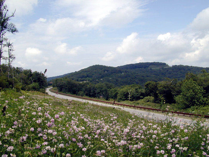
This Special Event is sponsored by the Smoky Mountains Amateur Radio Team to commemorate the opening of the Cherohala Skyway on October 10, 1996. The Skyway is a scenic 52 mile mountain drive through the Nantahala and Cherokee National Forests. The road connects Robbinsville, North Carolina with Tellico Plains, Tennessee. The Skyway was 38 years from concept to completion and originally traveled by wagon train. The actual transmission site is from Hooper Bald rest stop at an elevation of 5,300 feet.
For those contacts wishing a card or certificate,
please send a SASE of appropriate size to:S.M.A.R.T.
Post Office Box 983
Robbinsville, NC 28771-0983
![]()
End of Page


